 COUNTY COUNTY
|
|
||||||||
| EXISTING STATIONS | ||||||||
|---|---|---|---|---|---|---|---|---|
| Station Name |
Original Railroad |
Current Location |
Type | Current Use |
Date Built |
Track Status |
Building Material |
More Info |
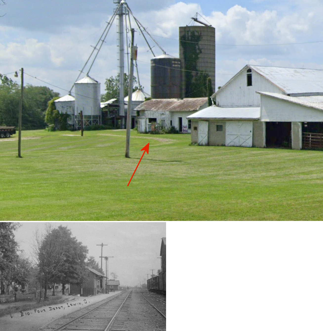
| Irwin |  |
22465 SR-161, Milford Center (GPS: 40.120750, -83.458242) |
C | Private | ???? | None | Wood |
|
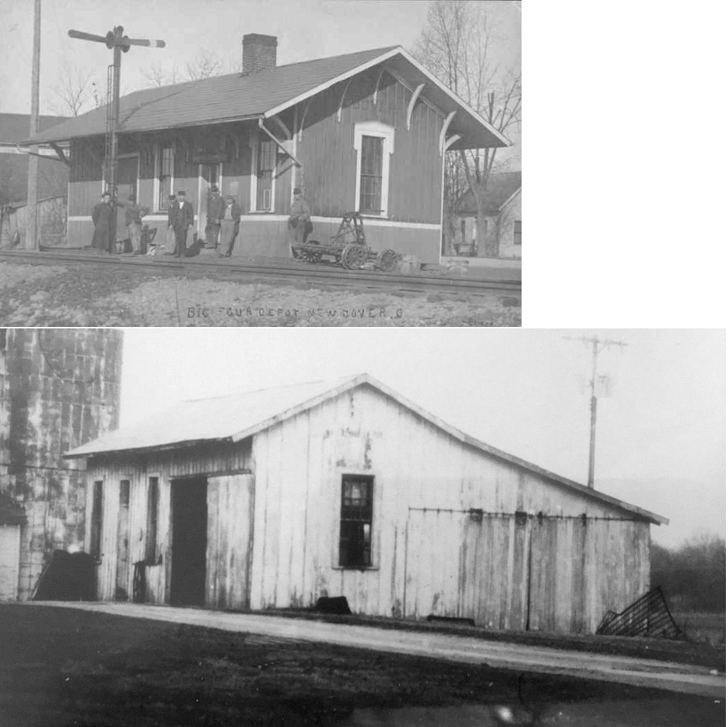
| New Dover (Dover) |
|
Millcreek Manor, 12537 Hinton Mill Road east of Myers Road (GPS: 40.225145, -83.279811) |
C | Private | ???? | Gone | Wood |
|
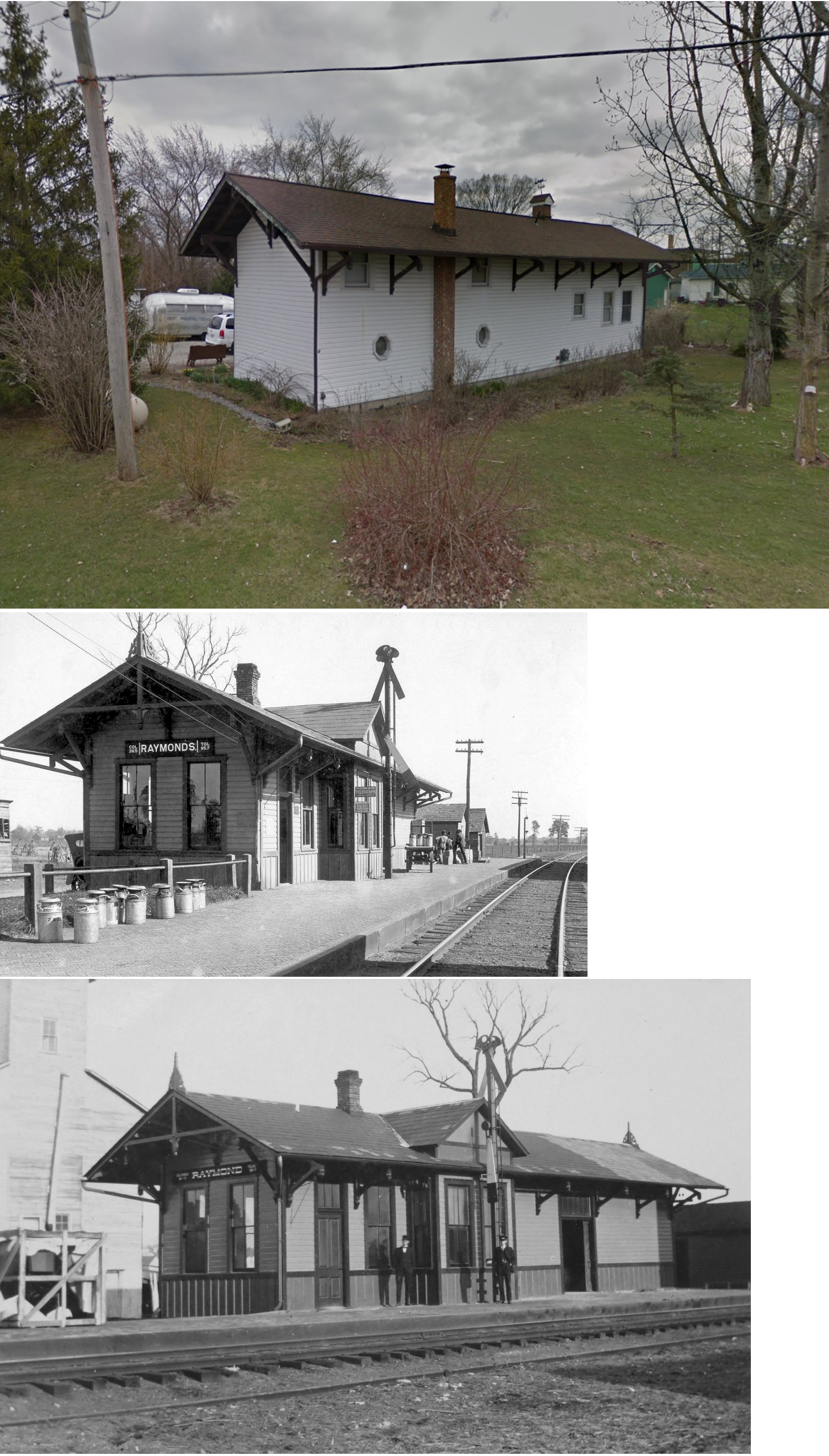
| Raymond |  |
23550 SR-739 (GPS: 40.333707, -83.463890) |
C | House | ???? | None | Wood |
|
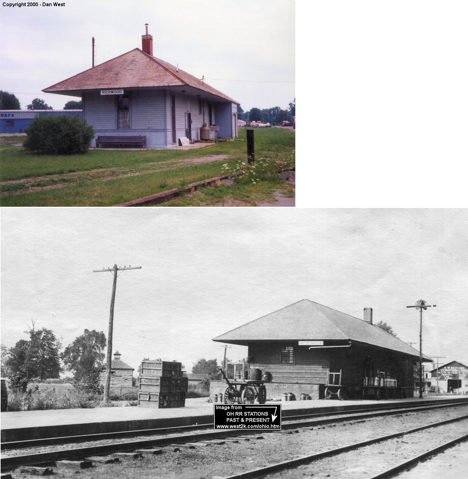
| Richwood |  |
211 North Franklin Street (GPS: 40.430485,-83.29739) |
P | Residence | 1904 | Gone | Wood | |
| STATIONS OF THE PAST | ||||||||
| Station Name |
Original Railroad |
Notes | ||||||
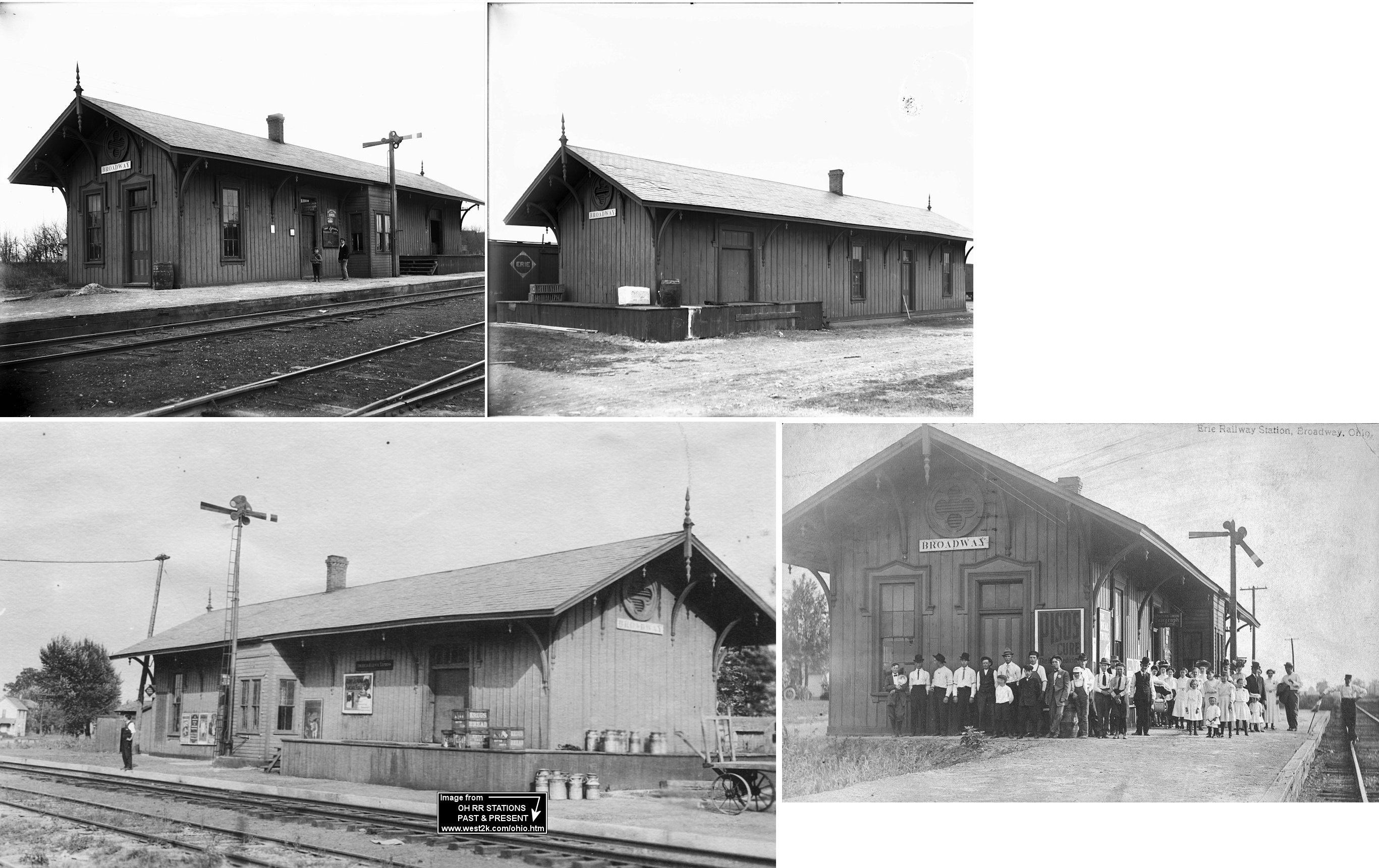
| Broadway | |
According to the 1877 map, the A&GW station was at the NW end of Cranston Street (GPS: 40.34055,-83.414061). | ||||||
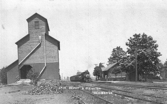
| Claibourne | |
|||||||
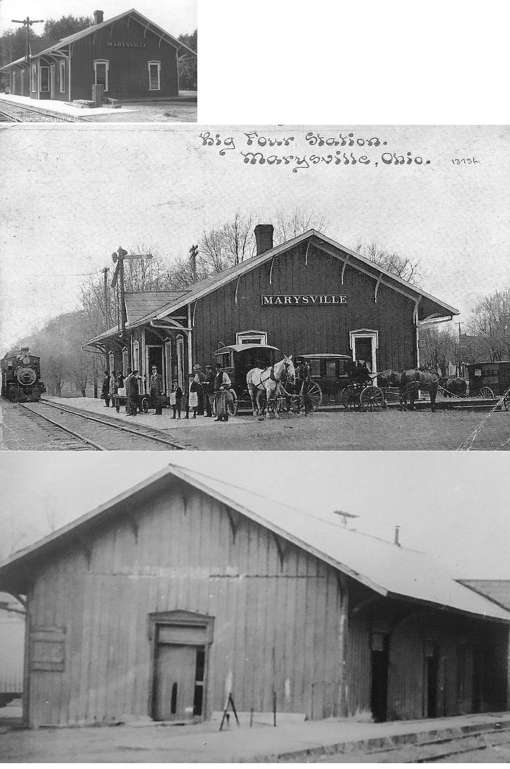
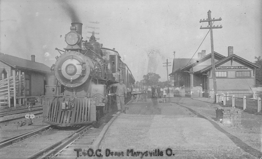
| Marysville | |
This combination station was on the SW corner of East 8th and South Oak Streets (GPS: 40.232796,-83.363998). It was torn down in the 1960s. | ||||||
| Marysville | |
The passenger station was on the west side of Sycamore Street on the south side of the tracks (40.240648,-83.370733). The freight station was on the north side of the tracks. Both stations were torn down in the 1960s. | ||||||
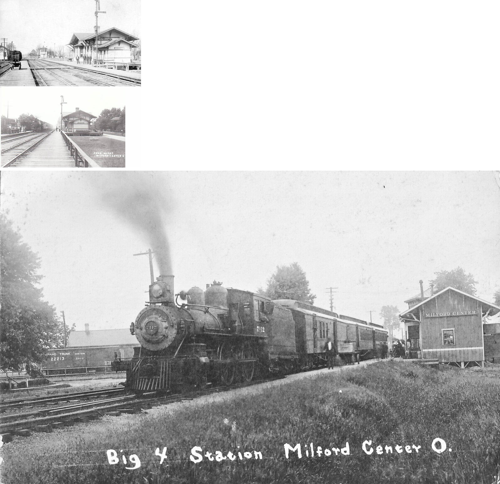
| Milford
Center (Greenfield, IN) |
 |
This station sat on the north side of the tracks on the south side of Railroad Street just west of Mill Street. According to PRR records, the station was moved here from Greenfield, Indiana around 1901-1902. It was gone by 1945, but a small freight station remained after that date along the transfer track to the CCC&St.L. The freight station was built in 1888. | ||||||
| Milford Center | |
There was a freight station along the north-south segment of Railroad Street. Maps from 1911 do not show a passenger station here, but there was one north of the diamond prior to that. | ||||||
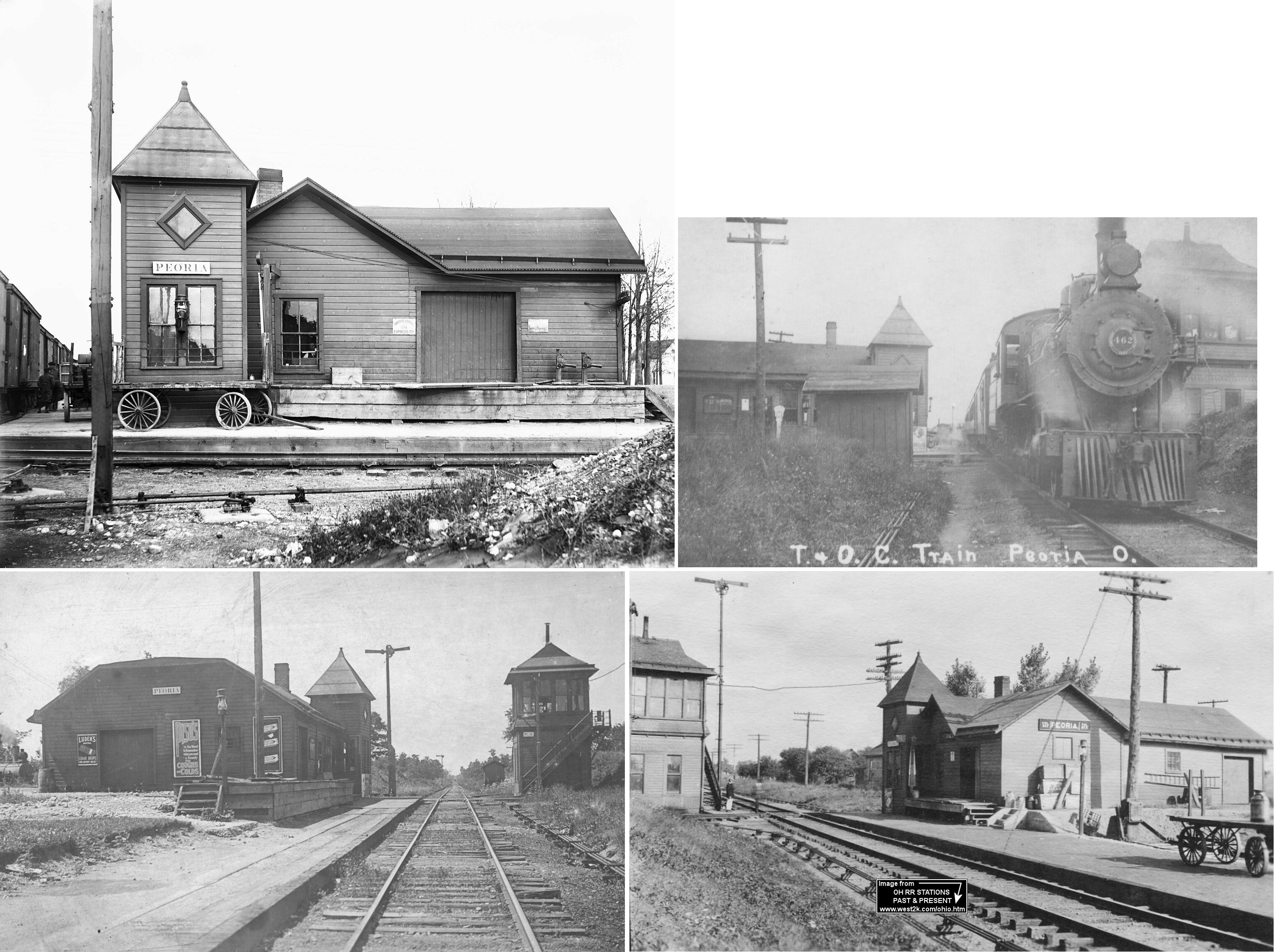
| Peoria | AND |
This station was designed by the Erie RR and shared by the Erie and T&OC at the crossing. The tower to the right belonged to the T&OC. According to Erie RR valuation records, the station was built in 1878. | ||||||
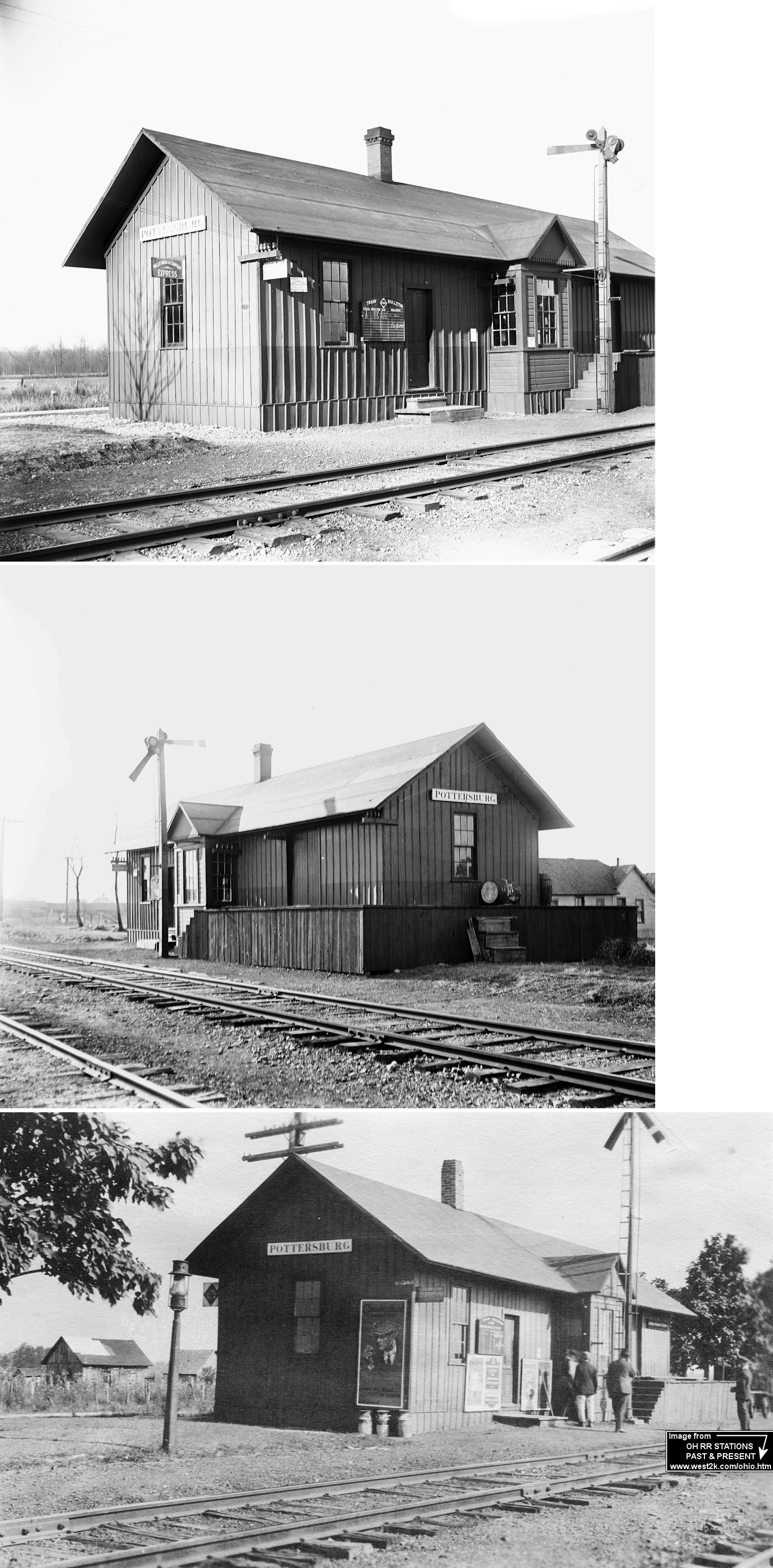
| Pottersburg |
|
This station was closed and moved around 1926. The station was made into a residence and "part of it added to the rear of the store" (Marysville Evening Journal-Tribune, 10-30-1954). According to Erie RR valuation records, the station was built in 1872. | ||||||
| Richwood |
 |
Prior to the 1904 station being constructed, there was an older structure here that dates prior to 1885. It was in approximately the same location as the later Erie station, but a bit closer to Franklin Street. | ||||||
| Unionville Center | |
Not to be confused with Unionville in Lake County. | ||||||
| Woodland |
|
|||||||
| 1898 UNION COUNTY RAILROAD MAP | ||||||||
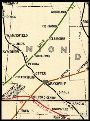 |
||||||||
| Notes About Existing
Stations... Irwin (CCC&St.L) - Station was moved to this farm at some point. In poor condition now. New Dover (CCC&St.L) - The Big four ran this line as a branch from Springfield to Delaware, the tracks survive from Springfield to Mechanicsburg servicing the elevators there. The station's original location was at the south end of Church Street (GPS: 40.246204,-83.300893). Just a few places are left north of that point where the railbed is identifiable. There still is a formidable bridge at White Sulpher, crossing the Scioto River (there are foundation stones from the station at White Sulpher still visible). Walter Low moved the station to his family farm in the 1920 (the Low Family have been on this farm continuously since 1844). Raymond (T&OC) - Moved from its original location on the SE side of Dayton Avenue at approximately GPS: 40.332258, -83.469580. The local historical society has a replica depot on SR 347, not to be confused with this original station. |
||||||||